
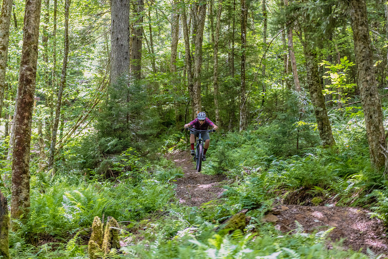
The lift-accessed trails in the Snowshoe Bike Park make up only a small fraction of the world-class mountain biking that can be found in the Snowshoe Highlands Ride Center. As long as you’re willing to do some pedaling, there are hundreds of miles of wild & wonderful singletrack in the area just waiting to be explored. Many of the local trail systems are just a short, scenic drive from the resort in the surrounding Monongahela National Forest.
Snowshoe Backcountry
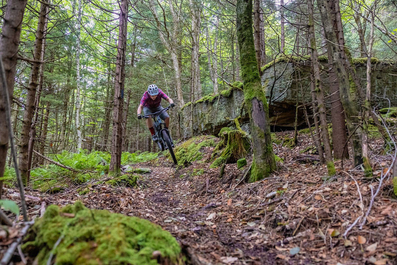
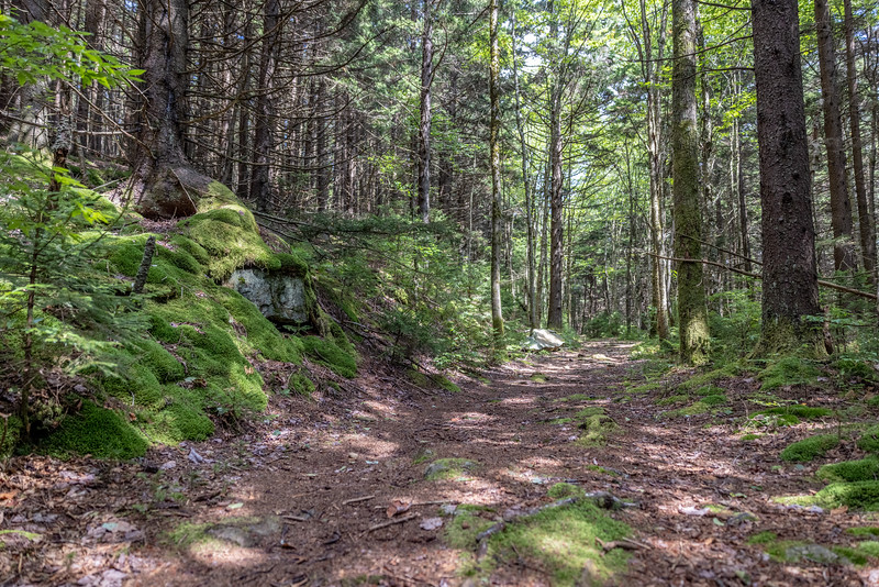
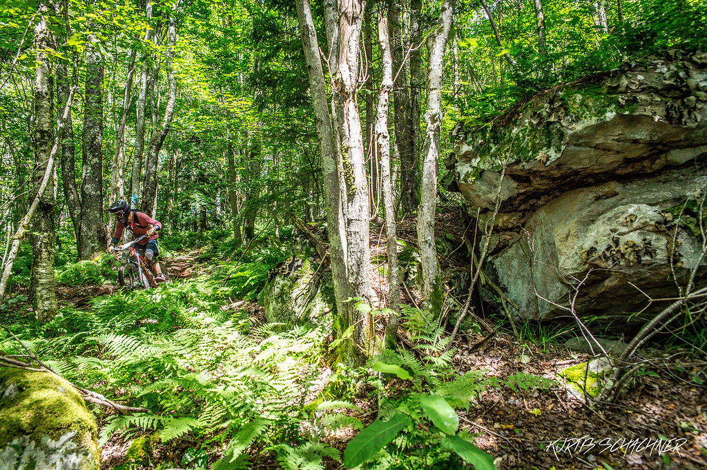
Some of the most legendary local trails can be found in Snowshoe’s 11,000-acre backcountry. One of the easiest to get to is “The Fingers”, a relatively small trail system located in the North Mountain area near Powderidge. An easy pedal from the Snowshoe Village, these trails are essentially a spider web of dark and loamy loops that increase in difficulty the further in you go.
Across the Basin from the slopes are 6,000 Steps and Bail Out. The former follows an old railroad grade, making it a great trail for climbing. Bail Out is a rowdy descent straight down the ridge from the Snowshoe fire tower to Shavers Lake Trail. Be sure to take time to climb the fire tower for an incredible 360-degree view of the area. These trails can be accessed from the top or bottom of the South Mountain area, either via the access road to the Soaring Eagle lift (past the lake and the Basin Bike Park trails) or the Cheat Ridge Trail (between Sanctuary and Snow Crest). If you go with the latter, keep an eye out for some super fun singletrack that parallels the fire road after the Backcountry Hut.
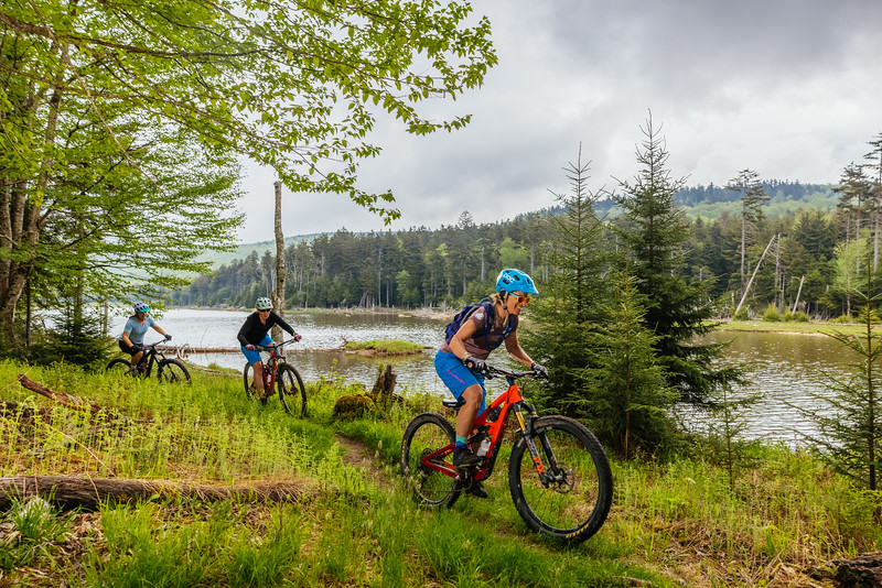
Last but not least, Silver Creek is home to a network of trails that feature a little bit of everything. The Enchanted Forest is a quiet, loamy, remote ride through an endless sea of red spruce trees. Beaver Dam is a downhill delight with roots and rocks galore. If you’re looking for breathtaking panoramic views on your ride, head up to the “Airport”.
One popular combo is to head up “Airport Runway”, located beside the entrance to Silver Creek. Stay straight at the second switchback for a great view of Snowshoe, then it’s a short climb to a singletrack entrance that will take you to the top of Beaver Dam. Drop in on Beaver Dam (Upper and Lower), then you have the choice to either take a right to the base of Silver Creek and gravel back home, or take a left and climb Black Run Road to the Enchanted Forest. Enchanted Forest connects to Headset Adjustment for an enduro-licious descent back to the bottom of Silver Creek.
Slatyfork
A short drive down Rt. 219 takes you to Slatyfork and the Sharp’s Knob Base Trails, located just off Mine Road. Roaring Run, Powerline, and the Elk Rail Trail are some of our favorites here, with Mine Road serving as a convenient route for climbing (or shuttling) back up for another lap. Further up Mine Road is the entrance to the Gauley Mountain Trail as well as the Tea Creek Trail, which connects to the Highland Scenic Highway and Tea Creek areas. Props Run is another remote option via Mine Road, generally following an old rail grade with a descent of 1,681 ft. over the course of 7 miles.
Tea Creek Area / Scenic Highway
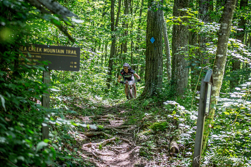
The aptly named Highland Scenic Highway (State Rt. 150) is one of the region’s best-kept secrets, with recreational opportunities literally left and right from one end to the other. The Tea Creek Area is home to some of the most stories singletrack in the state. Bear Pen Ridge, the Tea Creek Trail, Turkey Point, and the Boundary Trail feature some highly technical riding with 1,600+ ft. of descent, with some burly rock gardens and drops along the way. As a wise man once said “Friends don’t let friends ride Tea Creek on a hardtail”. The Tea Creek Trail is not currently recommended below the intersection with Bear Pen and Boundary, so be sure to take one of those trails if you’re out that way. Novices will want to avoid this area (except the Bannock Shoals Trail which is rated beginner-friendly).
Mower Tract
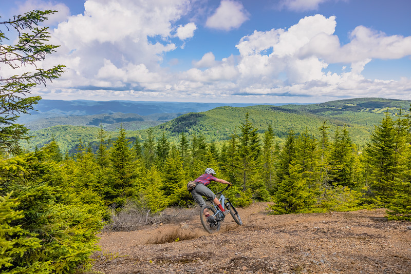
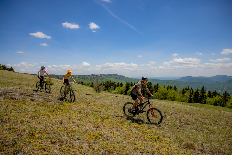
The most recent addition to the Snowshoe Highlands Ride Center is the Mower Tract. If you’re wanting to take your ride off the grid, this is the place to do it. Home to some of the most remote trail systems in the Monongahela National Forest, the Mower Tract is a shining example of how ecological restoration and outdoor recreation go hand-in-hand. Once the site of a strip mine, the area has undergone a transformation in recent years. Soil is being de-compacted, native tree species are being planted, and wetlands are being restored giving life to this once desolate Allegheny plateau.
The views from the Mower Tract are unbelievably expansive, earning it the nickname “Mine-tana”. Fun intermediate loops from the Mower Basin Trailhead, like the Hawk’s Ridge Trail, really highlight the area. There are plenty of rustic, dispersed campsites making it the perfect place to get away for some quality time with your trail bike. And if you’ve got a gravel bike, you’ll want to bring it along too. The amount of high-quality WV gravel here is seemingly endless, and will not disappoint.
And For Something A Little Easier…
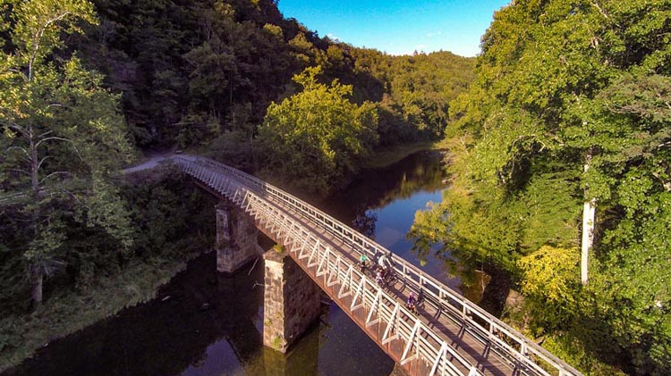
If you’re looking for a more laid-back ride, both the Greenbrier River Trail and the Green Bank Observatory offer easy riding suitable for the entire family, both served up with a side of history. The “GRT” follows a late 1800’s rail grade for 78 miles along the gorgeous Greenbrier River all the way from historic Cass to Caldwell. The Green Bank Radio Astronomy Observatory has been on the forefront of space exploration since the 1950’s and is home to one of the world’s largest radio telescopes. A bike ride around the campus is truly an out-of-this-world experience…
It takes a long time to ride all the trails that the Snowshoe Highlands Ride Center has to offer so you’d better get started soon. Be sure to purchase an official SHRC Map. All proceeds go right back into trail maintenance.